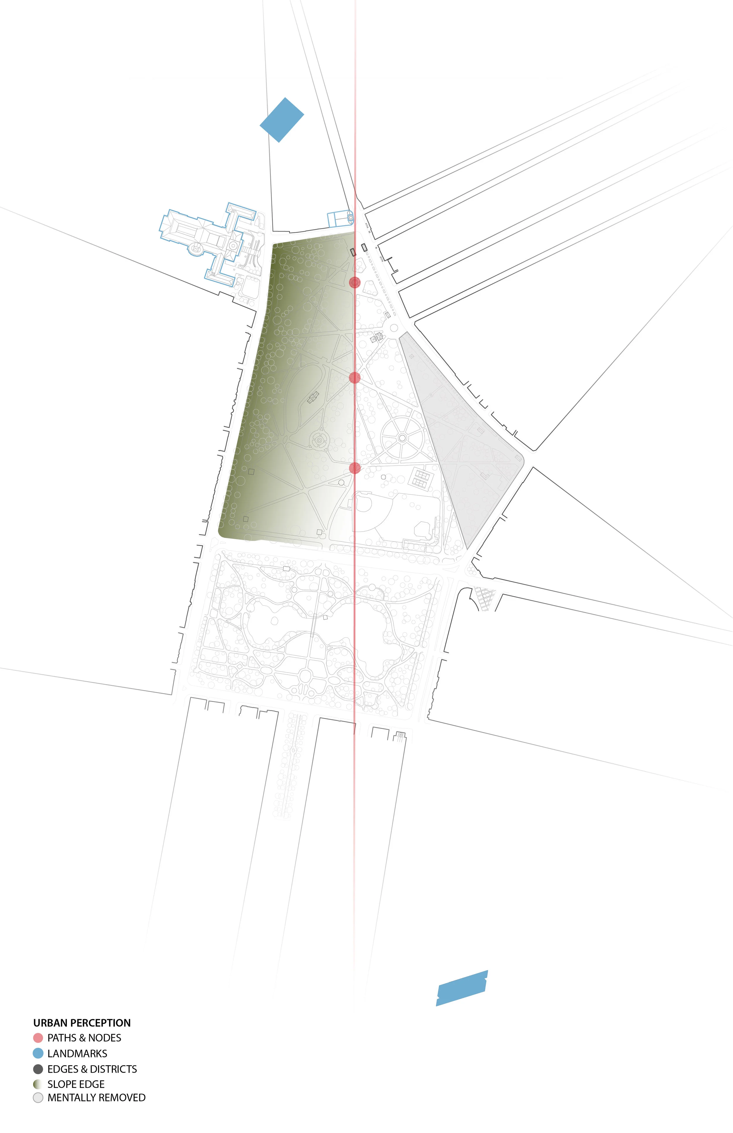
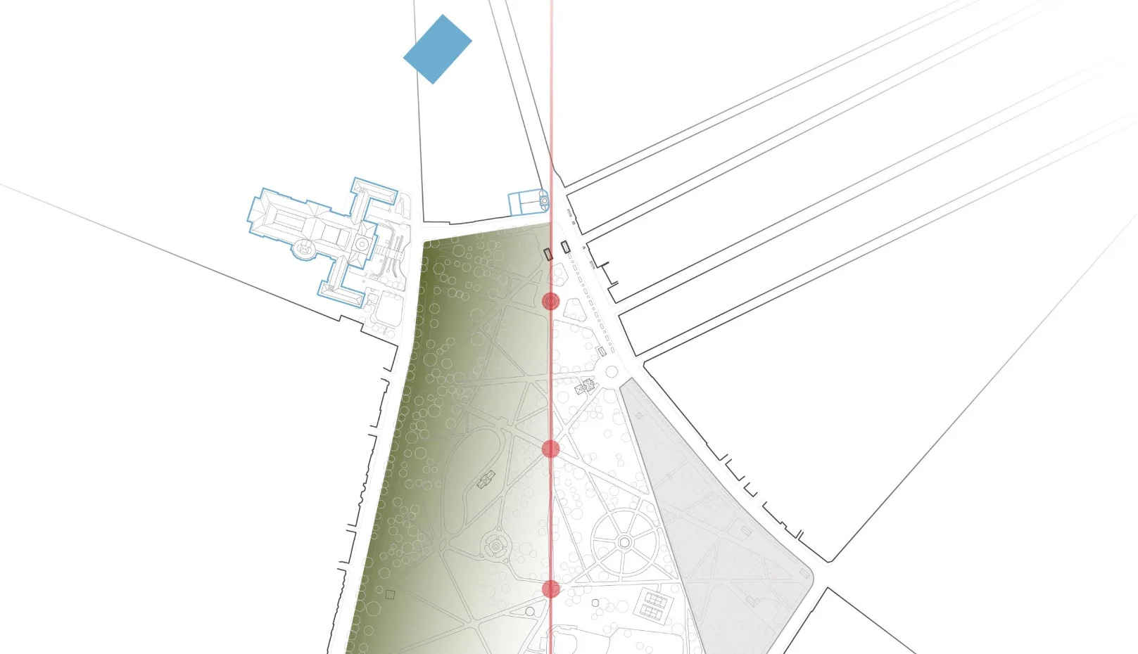
Stepping up and out of the Park Street Station, I feel like I have arrived. Oriented in a perceived north direction per a mental map of the city between Wentworth Campus and Government Center, the landmark Park Street Church greets me to an opening in the sky and ground in the city known as the Boston Common. The two head houses of Park Street Station act as a gated opening, funneling me south toward the Common. Walking, I can quickly orient to two key landmarks of significance to me and the city, being the State House and Hancock Tower, both of which set the wayfinding marks for my journey through the park. A single path calls to my orientation as it appears to run north/south and goes through the center of the green space. These two aspects bring clarity to my city view and plan of the area, giving me ease to explore. The sloped hill toward the State House and Beacon Hill acts as a visual and physical edge that keeps me to lower ground. The other side of the Common appears as a large wall of stone and darkness that creates a mental edge and subsequently removes a triangular section of the park from my mental map. The edges all around the Common become facades with unknown depth and thus form into perceived solid districts all converging into the park. Walking this central path, I expect to be directed toward Copley Square; instead, the path turns at a third node, directing traffic toward the Public Garden. This path of the Common was not entirely legible to my orientation to the city, and thus my choice of path led me in a direction I had not intended or expected. Using Kevin Lynch’s thinking, it is clear that, though my mental map doesn't align as much with reality, it does build a network and simplified understanding of my surroundings that puts ease to my movement and decisions in space.